| Short: |
Swift Openstreetmap library and POC rendering in SwiftUI |
| Tech: |
Swift, SwiftUI, Openstreetmap |
| Links: |
Back when Swift function builders feature was just released in beta, I've thought of a DSL request API that can be implemented using it.
For example, here's a request that selects roads in the coordinate bounding box:
let request = OverpassRequest {
    Union {
        Query(.way) {
            Bounding(.box(s: 51.248, w: 7.147, n: 51.252, e: 7.153))
            Tag(include: "highway")
        }

        Recurse(.down)
    }

    Print()
}
with it's counter-example with another library, not using DSL:
let boundingBox = BoundingBox(south: 1.5, west: 1.75, north: 2.5, east: 2.75)
let tags: Set<Tag> = [.hasKey("highway")]

let query = nodeQuery(boundingBox: boundingBox, tags: tags)

service.query(query).then { (res: Result<Response, OverpassServiceError>) in
    dump(res)
}
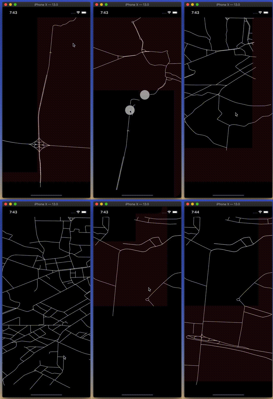
I also made a POC rendering using SwiftUI (then it was still in beta):
